Shenandoah Valley Travel Guide: Scenic Drives
The Shenandoah Valley is not a single destination but a long, living corridor shaped by mountains, water, soil, and centuries of movement. Bounded by the Blue Ridge to the east and the Allegheny Mountains to the west, this natural passage has guided Indigenous travel, colonial migration, Civil War campaigns, railroad expansion, and modern rural life. The valley’s rhythm feels grounded and deliberate, where farms still define the landscape and towns evolved along historic roads rather than highways.
The region’s backbone is ecological as much as historical. Protected lands such as Shenandoah National Park preserve the eastern skyline of the valley and anchor regional conservation identity, as documented by the National Park Service. Approaching the valley as a connected regional experience rather than a checklist of towns reveals how geography, agriculture, and history remain inseparable here.
For a seamless trip, browse top-rated Shenandoah Valley tours and curated activities that highlight the best things to do across the region.
Shenandoah Valley by Subregion
Northern Valley — Winchester and the Gateway Corridor
The northern valley around Winchester and Frederick County functioned as a colonial gateway between the Mid-Atlantic and the Appalachian interior. Early wagon roads, later rail alignments, and fertile limestone soils encouraged settlement that still shapes land use today. Agricultural continuity here is not aesthetic — it is economic and generational.
Battlefields, farmsteads, and preserved streetscapes reveal how geography made this corridor strategically vital during the Civil War, a relationship carefully interpreted by the American Battlefield Trust.
Historic roads still determine how communities connect, and the landscape reads like a map of early American expansion.
Central Valley — Harrisonburg, Staunton, and Cultural Density
In the central valley, the landscape widens. Harrisonburg and Staunton act as anchors where agriculture meets education, arts, and regional commerce. The presence of James Madison University and Mary Baldwin University influences food culture, music programming, and demographic diversity in ways unusual for a rural region.
Staunton’s preserved downtown and performing arts scene reflect a railroad town that transitioned into a cultural hub, documented through preservation efforts supported by organizations such as the National Trust for Historic Preservation.
This part of the valley balances working farmland with walkable small urban centers.
Southern Valley — Rural Depth and Appalachian Transition
South of Lexington and Buena Vista, development thins and the valley begins merging into the broader Appalachian system. Roads quiet, horizons widen, and daily life remains closely tied to season and land.
Outdoor recreation becomes more prominent as protected forest lands expand, including areas managed by the George Washington and Jefferson National Forests, whose stewardship is detailed by the U.S. Forest Service.
Communities here preserve slower travel rhythms and long-standing traditions.
When the Shenandoah Valley Shines
Best Time to Visit
Spring and autumn provide the most balanced conditions. Spring brings wildflowers, renewed river flow, and planting season across farms. Autumn is defined by foliage climbing the mountain slopes, with Skyline Drive becoming one of the most visually dramatic roads in the eastern United States.
Seasonal Highlights
Summer supports farmers markets, outdoor festivals, paddling, and long daylight hours for hiking. Winter is quieter and more contemplative, with snowfall depending heavily on elevation.
The science behind foliage timing and elevation differences is explained through Appalachian forest research published by the U.S. Geological Survey.
Ideal Trip Length
Four to seven days allow movement between subregions without rushing. Longer stays reward deeper engagement with both landscapes and communities.
Getting Around the Shenandoah Valley
Road Travel
Driving is the most practical way to experience the valley. Scenic routes prioritize views over speed, including the Blue Ridge Parkway, maintained by the National Park Service.
Roads follow historic north–south corridors that predate modern highways.
Public Transport
Amtrak’s Cardinal line connects Staunton to larger cities but does not reach rural areas, as outlined by Amtrak’s route system.
Travelers relying on public transport should plan bases carefully.
Cycling and Local Mobility
Flatter agricultural stretches support cycling, though terrain and traffic vary widely. The Shenandoah Valley Bicycle Coalition provides updated route and safety guidance.
Where to Base Yourself in the Shenandoah Valley
Choosing a central base can simplify regional exploration, especially for first-time visitors. Towns with services, dining, and road access often provide the best balance between convenience and atmosphere. Rural stays offer deeper immersion but may require longer daily drives.
For a seamless stay, explore top-rated Shenandoah Valley hotels and neighborhood stays on Trip.com curated for every budget and travel style. We may earn a commission if you book through our links — at no extra cost to you.
What to See and Do in the Shenandoah Valley
Shenandoah National Park
Skyline Drive runs 105 miles along the Blue Ridge crest, offering continuous perspective over the valley floor. The park’s conservation role extends beyond recreation, shaping regional environmental awareness.
Luray Caverns and Karst Geology
The valley’s limestone base creates extensive underground systems. Luray Caverns demonstrates how karst geology influences water flow, soil quality, and agriculture above ground, with geological interpretation supported by the National Speleological Society.
Staunton’s Cultural Fabric
Rail heritage, preserved architecture, and performing arts venues make Staunton a cultural pause between rural stretches.
Harrisonburg’s Agricultural Market Role
Harrisonburg links Shenandoah farmland to broader markets. Its food scene reflects both tradition and innovation.
Winchester’s Historic Identity
Winchester’s streets and surrounding countryside reinforce its long-standing gateway role.
Must-See Experiences Across the Shenandoah Valley
- Driving Skyline Drive provides continuous perspective on the valley’s scale and relationship to surrounding mountains.
- Visiting local farms and markets connects travelers directly with the region’s agricultural backbone.
- Exploring small towns on foot highlights how history and daily life intersect at a human scale.
- Walking battlefield landscapes reveals how geography shaped historical outcomes.
- Experiencing seasonal changes emphasizes the valley’s dependence on natural cycles.
- Attending community events offers insight into contemporary regional identity.
Discover trusted Shenandoah National Park tours and hand-picked activities featuring the most rewarding things to do in the Virginia on Viator for confident travel planning. We may earn a commission if you book through our links — at no extra cost to you.
Best Travel Itineraries in the Shenandoah Valley
Day 1 — Arrival and Valley Orientation (Staunton Base)
Arrive in Staunton and walk the historic downtown to understand how rail heritage shaped the town’s layout and economy. Take a short late-afternoon scenic drive into surrounding farmland to read the valley’s geography before tackling longer routes.
Day 2 — Skyline Drive and Shenandoah National Park
Enter Shenandoah National Park and drive a substantial stretch of Skyline Drive for continuous views over the valley floor. Stop at overlooks and short trails to understand how the Blue Ridge defines the eastern wall of the region.
Day 3 — Luray Caverns and Karst Landscape
Travel east toward Luray to explore Luray Caverns and learn how limestone geology shapes water systems, soil fertility, and farming above ground. Return through rural backroads to reinforce the land–agriculture connection.
Day 4 — Harrisonburg and Agricultural Identity
Base yourself around Harrisonburg for the day. Visit farmers markets, local food spots, and surrounding farmland to see how modern commerce still depends on valley agriculture. Explore the walkable downtown in the evening.
Day 5 — Northern Valley and Winchester’s Gateway Role
Drive north to Winchester. Walk historic streets, then visit nearby battlefield landscapes to understand why this corridor was strategically vital. Observe how early roads still define movement patterns today.
Day 6 — Civil War Geography and Rural Roads
Spend the day moving slowly between preserved battlefield sites, farm lanes, and historic turnpikes. This is a geography-reading day where terrain explains history more clearly than monuments.
Day 7 — Lexington and the Southern Valley Transition
Head south toward Lexington and Buena Vista where development thins and the Appalachian character strengthens. Explore quiet roads, river views, and small communities that move at a slower rhythm.
Day 8 — George Washington National Forest and Outdoor Focus
Dedicate the day to forest landscapes, hiking trails, or scenic drives within national forest land. Wildlife, elevation changes, and dense woodland contrast sharply with earlier farmland days.
Day 9 — Markets, Local Life, and Community Rhythm
Return toward a central base. Time your day around a farmers market or community event. Spend the afternoon revisiting a favorite town slowly, allowing unscheduled discovery.
Day 10 — Scenic Farewell Loop and Departure
Create a departure route that avoids highways. Follow scenic byways through farmland and mountain views one last time, reinforcing how the valley’s geography ties the entire journey together.
Adventure and Outdoor Activities
Hiking, paddling, cycling, wildlife observation, and forest exploration are shaped by elevation, season, and land ownership patterns. Trail systems within national forests are mapped and maintained under federal recreation programs.
History and Heritage
From Indigenous land use through colonial settlement and Civil War campaigns, the valley’s past is embedded in landscapes rather than confined to museums. Archaeological and cultural studies of the region are preserved through the Smithsonian’s National Museum of the American Indian resources.
Food and Drink in the Shenandoah Valley
Signature Food Traditions
Seasonal produce, preserved foods, and simple preparations rooted in farming define local cooking.
Markets as Community Centers
Farmers markets function as social and economic hubs, supported by Virginia’s agricultural extension programs.
Cafés and Gathering Spaces
Small cafés mirror the valley’s unhurried pace and community focus.
Practical Tips for the Shenandoah Valley
Responsible travel
Respect for private land and working farms is essential throughout the region.
Accessibility
Terrain and infrastructure vary widely, making advance planning important for mobility needs.
Photography
Light changes quickly in mountainous terrain, rewarding patience and timing.
Weather flexibility
Conditions shift with elevation and season, requiring adaptable plans.
Final checklist
Allow extra travel time, carry offline navigation tools, and plan around daylight changes.
Choose Your Next Adventure
Virginia
Beyond the Shenandoah Valley, Virginia unfolds into distinct geographic regions that change the travel experience quickly. The Blue Ridge Mountains rise immediately to the east with higher elevations, denser forests, and long scenic parkways. Farther east, the Piedmont transitions into rolling hills, vineyards, and increasing urban influence toward Charlottesville and Richmond. Exploring these regions after the valley highlights how altitude, soil, and settlement patterns reshape culture and daily life within the same state.
West Virginia
Crossing the Allegheny front into West Virginia shifts the landscape into deeper forest cover, more rugged terrain, and towns historically shaped by timber, mining, and outdoor livelihoods. The forest continuity between the Shenandoah Valley and the West Virginia Highlands makes this a natural extension for travelers interested in hiking, rivers, and Appalachian backcountry.
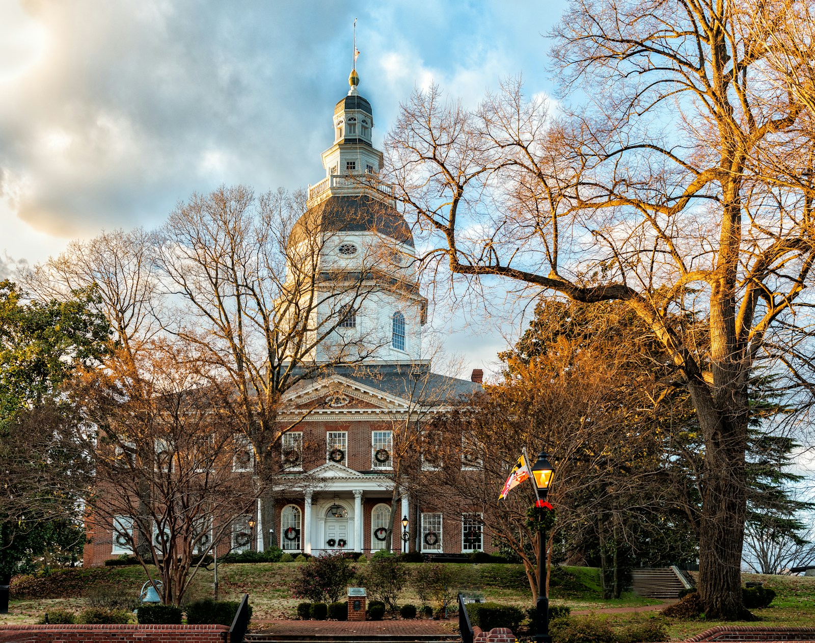
Maryland
To the north, western Maryland continues the Appalachian geography through the Cumberland Valley and into mountainous state parks and historic transport corridors like the C&O Canal. This area connects valley travel with early American trade routes and long-distance trail systems.
Pennsylvania
Further north, Pennsylvania’s Cumberland Valley and Gettysburg region extend the same agricultural and battlefield geography seen in the Shenandoah. Visiting here deepens understanding of how this entire Appalachian corridor shaped early American movement, farming, and conflict across state lines.
It’s Time to Experience the Shenandoah Valley
The Shenandoah Valley reveals its meaning through movement, not checklists. Land, history, agriculture, and daily life remain intertwined here in ways rare in modern America. Given time and attention, the valley teaches you how geography still shapes culture — and why this corridor has mattered for centuries.